
WiMo: Mapping the Sentimental Topography of the City
WiMo: location-based emotion tagging
WiMo is a location-based social networking application designed to enable users to store and share emotional "geo-tags" associated with specific places. It utilizes a unique 2D emotional matrix and "cloud-based" spatial tagging to move beyond traditional factual metadata into the realm of subjective social experiences.
TL;DR
WiMo is an early-stage mobile social network that allows users to "geo-tag" their emotions. Unlike traditional maps that focus on where a restaurant is, WiMo focuses on how that place feels. By using a 2D emotional matrix (Comfort vs. Preference) and spatial "clouds," it bridges the gap between objective GPS data and subjective human experience.
Background: Beyond the Digital Guidebook
Traditional mobile tourism tools are excellent at providing facts—opening hours, addresses, and history. However, they fail to capture the "social fabric" of a city. As noted by researchers like Brown and Chalmers, we often lack an understanding of the emotional motivations behind why people visit certain spots. WiMo seeks to digitize these "invisible atmospheres" by allowing users to leave emotional footprints for themselves and their friends.
The Problem: The Ambiguity of Emotion and Space
The authors identified two core challenges in previous location-based systems:
- Semantic Ambiguity: "Good" is too vague. A user might "like" a historic site but feel deeply "uncomfortable" there (e.g., a concentration camp memorial).
- Spatial Ambiguity: Emotions aren't fixed to a single latitude/longitude point; they are felt across a park, a street, or a neighborhood.
Methodology: The Emotional Matrix and Cloud Tags
To solve these issues, the researchers developed a specific interaction model based on Scherer’s dimensional structures of semantic emotion space.
1. The 2D Mapping Matrix
Instead of a "star rating," users plot their feelings on a four-axis distribution:
- X-Axis: Like vs. Don't Like
- Y-Axis: Comfortable vs. Uncomfortable
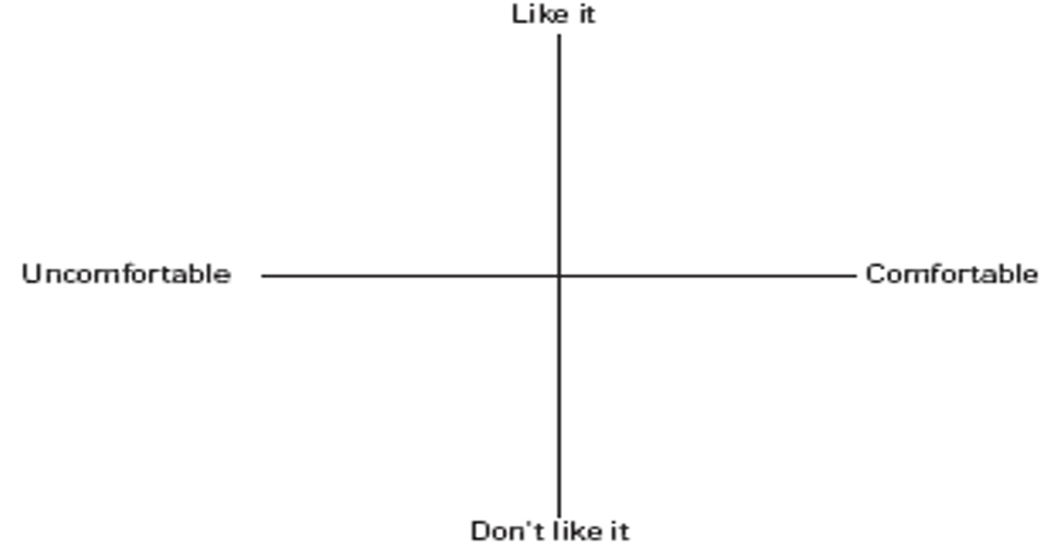
2. From Points to Clouds
Rather than a pin, the WiMo interface uses a Blue Cloud. Users can customize the size of this cloud to match the physical extent of the "place" they are describing, acknowledging that human perception of space is fuzzy.
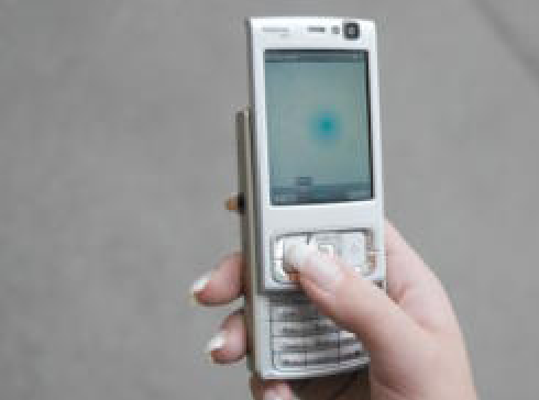 Fig 2: The process of creating a geo-emotional cloud and defining its area on a mobile device.
Experiments & Prototype Architecture
The system was built using a client-server architecture (J2ME for Symbian OS). The mobile client communicates with three servers:
- Emo-Tags Server: Maps tag IDs to URLs.
- Metadata Server (MySQL): Stores user locations, status, and permissions.
- WiMo Server: Manages the social "push" notifications when a user enters a region tagged by a friend.
In a field study in Berlin, a participant named "Jenny" demonstrated the workflow: finding a park, realizing she felt "comfortable" and "liked" the vibe, and dropping a cloud tag accessible only to her specific friend group.
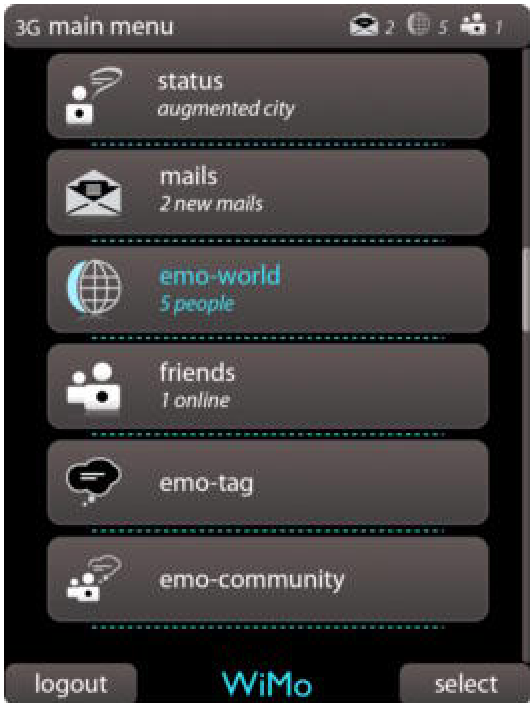 Fig 5: The main WiMo dashboard including Status, Mails, WiMo-World, and Community views.
Critical Insight & Future Work
The core value of WiMo lies in its Inductive Bias toward human subjectivity. It acknowledges that a location is not just a coordinate but a "place" imbued with meaning.
Limitations: The reliance on manual tagging poses a high barrier to entry (user fatigue). Modern iterations of this concept might use physiological sensors (biomapping) or sentiment analysis of social media captions to automate this process.
Future Outlook: As we move into the era of AR (Augmented Reality), the concept of "Emotional Clouds" could transform how we "see" the city, allowing us to visualize the collective mood of a neighborhood before we even step into it.